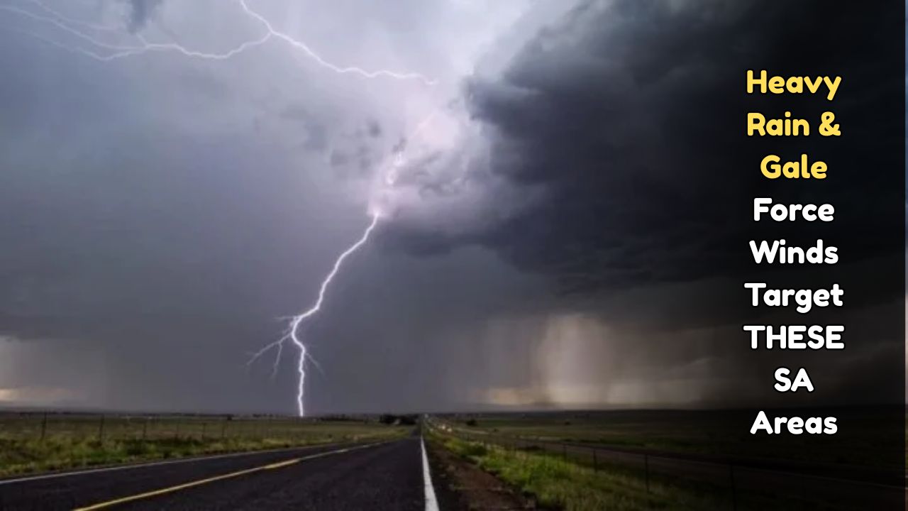
South Africa Weather Alert – South Africa is bracing for a powerful storm system bringing widespread heavy rain, gale-force winds and dangerous seas. Forecasters warn that saturated ground, clogged drains and high river levels will magnify the flood risk, while wind damage to roofs, trees and power lines may disrupt electricity and mobile networks. Motorists should expect poor visibility, ponding on major routes and closures of low-lying roads and mountain passes. Coastal communities face rough surf, set-up tides and possible shoreline erosion, especially near river mouths. Although the intensity will vary from district to district, short, intense downpours could trigger localised flash flooding within minutes. Residents are urged to secure outdoor items, move vehicles away from trees, and keep emergency kits, torches and charged power banks at hand. If you live in a flood-prone area, prepare sandbags, elevate appliances, and identify safe evacuation routes in advance. Stay tuned to official channels for warnings and never drive or walk through flowing or standing flood water.
Affected Areas & Timing
Affected areas include coastal belts of the Western and Eastern Cape—particularly the Garden Route, Overberg and Cape Winelands mountains—as well as parts of Nelson Mandela Bay and the Wild Coast. Strong onshore flow may push bands of rain into the City of Cape Town and low-lying Cape Flats. Periods of gusty, squally showers can also reach KwaZulu-Natal’s coast and adjacent interior, while the central interior (Free State, North West and southern Gauteng) may see strong, dusty cross-winds rather than prolonged rain. High-lying terrain such as Outeniqua, Hottentots Holland and Witzenberg passes can become slippery with rockfalls possible after cloudbursts. The worst conditions are most likely during and shortly after the passage of the main cold front and secondary cut-off low, with multiple waves of showers trailing behind. Local timing will depend on the exact track, but impacts can begin ahead of the front as the pressure gradient tightens. Communities near rivers and storm-water canals should stay extra vigilant.
What To Expect
Expect bursts of heavy rain capable of delivering 20–40 mm in a few hours along windward slopes, with isolated higher totals under slow-moving cells. Gale-force north-westerly to westerly winds are possible near capes and exposed ridges, with gusts that can exceed typical urban design thresholds and topple shallow-rooted trees. Seas will build rapidly; mariners and small-craft operators should anticipate very rough to high conditions, long-period swells and dangerous rip currents. In urban areas, storm-water back-ups can flood basements, underpasses and informal settlements; rural areas may see fast-rising streams cutting off low-water bridges. Brief hail and cloud-to-ground lightning may accompany the strongest convective bands, while a sharp temperature drop behind the front could bring sleet or light snow on the highest peaks. Load-shedding vulnerabilities increase when rainfall and wind combine with debris on lines. Plan for communications outages, spot fires from downed lines, and fallen debris on roads immediately after the strongest gusts.
Safety Checklist for Households
Before the worst weather arrives, clear gutters, downpipes and yard drains so water can flow away from your home, and place sandbags to divert runoff from doorways. Park vehicles under cover and away from tall trees or loose roofing sheets. Tie down trampolines, bins and corrugated panels that can become airborne. Charge phones, power banks and rechargeable lights; keep a battery radio for updates. Prepare a grab-bag with essential medications, copies of IDs, cash, warm clothing and a small first-aid kit. Switch off non-essential appliances and use surge protection for electronics. If flooding threatens, move appliances and valuables to higher shelves and switch off power at the mains only if it is safe to do so. Keep children and pets indoors, and avoid using open flames for heat or light. Check in with elderly neighbours, and share verified alerts through community groups. If you smell gas, hear arcing, or see fallen lines, evacuate and call emergency services immediately.
Travel, Work & Community Alerts
Delay non-essential travel; if you must drive, slow down, increase following distance, and avoid crossing water where you cannot see the road surface. Watch for aquaplaning on highways, rockfalls on passes and debris blown from construction sites. Public transport may run with delays, and flights can be disrupted by cross-winds—confirm bookings before leaving home. Port operations and small-boat launches could be suspended during peak swell and wind; fishers should secure gear and check moorings. Employers should activate remote-work or staggered-shift plans where feasible, and schools and clinics should review continuity procedures, especially for learners who cross rivers or informal bridges. Farmers should move livestock to higher ground, secure feed stores and check drainage around kraals. Keep emergency numbers for the South African Weather Service, municipal disaster management and utility fault lines handy, and report blocked drains or fallen trees through official channels. After the storm, avoid floodwaters contaminated by sewage or chemicals and photograph damage for insurance claims.