South Africa Weather Alert : South Africans are being urged to prepare for a dramatic shift in weather patterns this week, as several provinces brace for rare and potentially disruptive snowfall. According to the South African Weather Service (SAWS), a cold front is expected to sweep across the country, bringing with it plummeting temperatures, strong winds, and significant snow accumulation in key areas.
The forecast comes at a time when much of the country is transitioning into the winter season, and such snowfalls—while not unprecedented—are often infrequent and localized. The looming weather system is expected to impact both rural and urban areas, leading to potential disruptions in travel, agriculture, and daily life. Meteorologists have confirmed that the cold front moving in from the southwest will bring arctic air over inland provinces, with some regions potentially recording sub-zero temperatures. Provinces such as the Eastern Cape, KwaZulu-Natal, Free State, and parts of the Western and Northern Cape are expected to experience snow, with the heaviest accumulation forecasted over high-lying terrains. Authorities have issued alerts to farmers, travelers, and residents in vulnerable areas to remain cautious. Emergency services are on standby, and road management agencies have warned of possible closures and hazardous conditions on mountain passes and other high-altitude routes. Beyond the aesthetic novelty of snowfall in South Africa, this weather event has practical implications for agriculture, infrastructure, and energy consumption. Understanding the full scope of this forecast is crucial for minimizing its impact and ensuring public safety.
Let’s take a closer look at the affected regions, snowfall expectations, travel advisories, and the broader weather outlook.
Provinces Expecting Snowfall This Week
Snowfall is expected to affect several provinces starting midweek, with varying degrees of accumulation across different terrains.
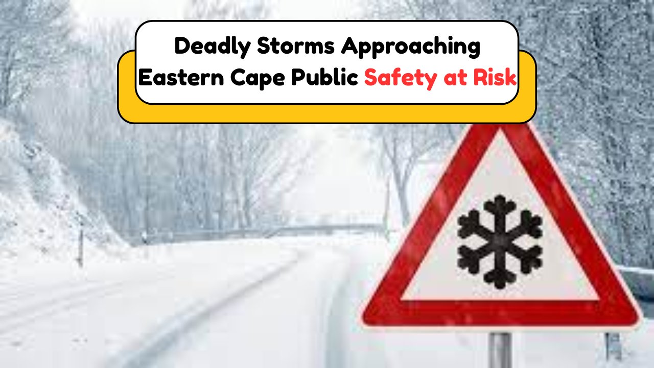
- Eastern Cape highlands and Drakensberg foothills likely to receive moderate to heavy snowfall.
- KwaZulu-Natal interior, especially in the Midlands, could see light to moderate snow.
- Free State and Lesotho border areas forecasted for snow flurries and ice formation.
- Northern Cape’s Sutherland area and parts of the Karoo may experience brief snow spells.
- Western Cape mountains, including Matroosberg and Ceres, are expecting light snowfall.
Expected Snowfall Levels by Region
| Province | Area | Snowfall Intensity | Accumulation (cm) | Temp Range (°C) | Wind Speed (km/h) | Warning Level |
|---|---|---|---|---|---|---|
| Eastern Cape | Barkly East, Lady Grey | Heavy | 10-15 | -2 to 4 | 20-30 | Orange |
| KwaZulu-Natal | Underberg, Nottingham Road | Moderate | 5-10 | 0 to 5 | 15-25 | Yellow |
| Free State | Harrismith, Clarens | Light | 2-5 | -1 to 6 | 10-20 | Yellow |
| Northern Cape | Sutherland | Light | 1-3 | -3 to 3 | 25-35 | Yellow |
| Western Cape | Matroosberg, Ceres | Light | 2-4 | -2 to 6 | 20-30 | Yellow |
| Lesotho Highlands | Central Highlands | Heavy | 15-20 | -5 to 2 | 30-40 | Red |
| Drakensberg Range | High-altitude slopes | Moderate to Heavy | 10-12 | -4 to 3 | 25-35 | Orange |
Travel Warnings and Road Closures
As snow begins to fall in higher-altitude regions, motorists and travelers are advised to plan accordingly and expect delays or route diversions.
- Mountain passes in the Eastern Cape and KwaZulu-Natal may become impassable.
- Snow chains are recommended for vehicles in affected zones.
- Visibility may drop significantly due to snow and wind-blown flurries.
- Road Traffic Management Corporation (RTMC) has deployed additional personnel.
Major Roads at Risk of Closure
| Route Name | Province | Status Alert | Reason | Recommended Action |
|---|---|---|---|---|
| R58 Barkly East | Eastern Cape | High | Snow buildup | Avoid travel |
| R617 Underberg | KwaZulu-Natal | Moderate | Ice on road | Caution advised |
| N5 Harrismith | Free State | Low | Light snow | Maintain low speeds |
| R303 Ceres | Western Cape | Moderate | Snow accumulation | Use snow chains |
| R354 Sutherland | Northern Cape | Moderate | Strong winds, snow | Delay travel if possible |
| Sani Pass | KwaZulu-Natal/Lesotho | High | Heavy snow, icy roads | Only 4×4 vehicles |
Agricultural Impact and Preparedness
South Africa’s winter crops and livestock farming may face temporary risks due to the upcoming snowstorm.
- Livestock should be sheltered as wind chill may cause stress or hypothermia.
- Freezing temperatures can affect irrigation systems and unharvested produce.
- Farmers are advised to protect seedlings and cover frost-sensitive crops.
Measures for Agricultural Protection
- Move livestock to enclosed shelters and provide insulated bedding.
- Drain irrigation lines to prevent pipe bursts from freezing.
- Install windbreaks or cover crops with protective materials.
- Increase feed availability as grazing may be limited.
- Monitor water tanks for freezing, especially in high-lying areas.
Livestock Care Recommendations
| Animal Type | Shelter Needed | Feed Adjustment | Health Risk | Action Recommended |
|---|---|---|---|---|
| Sheep | Yes | Increase | Cold stress, pneumonia | Provide hay, warm shelter |
| Cattle | Yes | Moderate | Frostbite risk | Move indoors or covered |
| Goats | Yes | Increase | Hypothermia | Insulated pens |
| Chickens | Yes | Maintain | Drop in egg production | Use heat lamps |
Emergency Services and Power Supply Concerns
With extreme weather conditions forecasted, emergency services are on alert to manage power disruptions and aid affected communities.
- Eskom warns of increased electricity demand due to heaters and appliances.
- Power outages may occur due to ice on power lines or transformer failures.
- Fire and rescue teams are prepared for increased callouts in rural areas.
Eskom Advisory and Load Monitoring
| Region | Expected Load Surge (%) | Backup Required | High-Risk Hours | Eskom Warning Level |
|---|---|---|---|---|
| Gauteng | 15 | Yes | 5am–8am, 6pm–9pm | Medium |
| Eastern Cape | 18 | Yes | 6am–9am, 7pm–10pm | High |
| Free State | 12 | No | 5am–8am | Low |
| KwaZulu-Natal | 20 | Yes | 6am–10am, 7pm–9pm | High |
| Western Cape | 10 | No | 5am–8am | Low |
What to Do If You’re in an Affected Area
Residents in areas forecasted to receive snow or strong winds are urged to stay informed and take precautions.
- Tune in to weather updates from SAWS and local authorities.
- Prepare emergency kits with food, water, blankets, and power banks.
- Charge all electronic devices ahead of possible outages.
- Limit unnecessary travel and ensure vehicles are fuelled.
Key Emergency Contacts
| Service | Contact Number | Area of Responsibility |
|---|---|---|
| SA Weather Service | 082 162 | National forecast updates |
| Road Traffic Management | 0861 400 800 | Road conditions, assistance |
| Eskom Customer Support | 0860 037 566 | Power supply and load info |
| Local Fire and Rescue | Varies by region | Emergency response |
| Disaster Management Centre | 012 848 4602 | Evacuation and public safety |
What to Include in a Winter Emergency Kit
- Flashlights and batteries
- Battery-powered radio
- Warm clothing and blankets
- Bottled water and non-perishable food
- First-aid kit
- Extra prescription medication
- Power bank or solar charger
Long-Term Winter Preparation Tips
Even though snowfall in South Africa is usually short-lived, long-term winter readiness is still valuable.
- Insulate pipes and windows to conserve heat.
- Use weatherproof materials to seal gaps in homes or buildings.
- Keep firewood or alternative heating sources available.
- Know your community’s emergency evacuation plan.
How Snowfall Affects Urban and Rural Communities Differently
Urban areas may face infrastructure stress, traffic congestion, and power overloads. In contrast, rural communities often suffer more from accessibility issues, limited medical services, and livestock exposure. Coordinated communication and support between municipalities and provincial governments are key to minimizing these inequalities during severe weather events.
Full 7-Day Weather Forecast Snapshot
| Date | Region Affected | Forecast Description | Day Temp (°C) | Night Temp (°C) | Snow Chance (%) |
|---|---|---|---|---|---|
| Tue, June 10 | Eastern Cape | Cold, windy, possible snow | 6 | -1 | 40 |
| Wed, June 11 | Free State | Snow flurries, overcast | 4 | -2 | 60 |
| Thu, June 12 | KwaZulu-Natal | Snow, ice patches, cold wind | 5 | 0 | 70 |
| Fri, June 13 | Lesotho Highlands | Heavy snow, strong winds | 2 | -4 | 90 |
| Sat, June 14 | Western Cape | Light snow, clear later | 7 | 1 | 35 |
| Sun, June 15 | Northern Cape | Breezy, isolated snowfall | 6 | -2 | 45 |
| Mon, June 16 | Drakensberg Region | Cold, lingering flurries | 3 | -3 | 55 |
Frequently Asked Questions (FAQs)
Will this snowstorm affect school schedules?
Some schools in affected provinces may close or switch to online learning temporarily due to travel hazards.
Is it safe to travel during snowfall?
Only travel if absolutely necessary. Use 4×4 vehicles, carry snow chains, and check live updates from RTMC.
Can snowfall damage my home?
In most areas, snow accumulation won’t be heavy enough to damage homes, but insulation is advised.
How long will the snow last?
Most snowfall is expected to last 1–2 days in each region, depending on altitude and cold air persistence.
Are urban areas like Johannesburg or Cape Town affected?
These cities may experience cold rain and strong winds but are unlikely to see snowfall.
As the week unfolds, residents across South Africa should remain vigilant and responsive to evolving forecasts. Whether you’re facing snow-covered peaks or freezing winds, staying informed and prepared will make all the difference in navigating this cold snap safely.