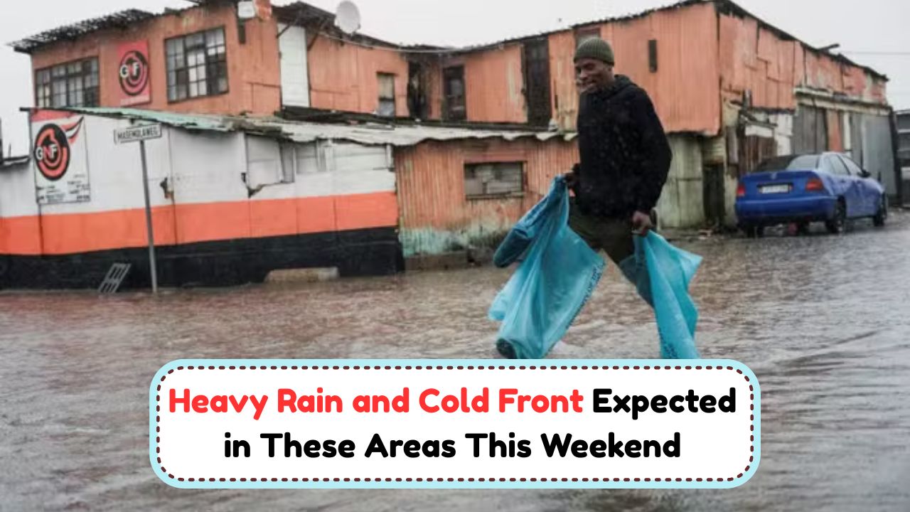
Weather Warning – A powerful cold front is set to sweep across parts of South Africa this weekend, bringing a sharp drop in temperatures, bouts of heavy rain, and strong winds along exposed coasts and mountain passes. Forecasters warn that the system will move in from the southwest, with showers spreading inland as the day progresses and a second pulse of colder, moisture-laden air reinforcing conditions into Sunday. Communities in flood-prone suburbs, informal settlements near rivers, and low-lying farmland should be especially cautious as small streams can rise quickly after intense downpours. While many will welcome the rainfall for dams and winter crops, the combination of saturated soils, gusty winds, and poor visibility can disrupt travel, damage lightweight structures, and topple trees. Motorists, hikers, anglers, and small-craft operators are urged to monitor official notices and adapt plans. Keep devices charged, check gutters and storm drains, and secure outdoor items before the first bands arrive so you’re not scrambling once the front makes landfall.
Areas likely to be affected and expected timing
The first impacts typically appear along the southwest coastline and adjacent interior, including the Cape Metropole and parts of the Cape Winelands and Overberg. As the front advances, rain bands and colder air may extend into sections of the Garden Route, southern Northern Cape, and interior Eastern Cape, before pushing further toward KwaZulu-Natal and the central plateau. On the high ground of the Karoo, Free State, and Lesotho border, wind-chill can become severe, with a chance of sleet on the highest peaks if temperatures dip enough. Inland metros might see spells of cloud and showers rather than continuous rain, but brief heavy bursts are possible near storm lines. Coastal areas should prepare for rough seas, strong onshore winds, and dangerous rip currents during and after the frontal passage. The most intense conditions are likely from late Saturday into Sunday morning, easing gradually from the west as the system moves east and a cooler, showery pattern settles in behind it.
Potential impacts on roads, power, and coastal waters
Heavy, short-duration downpours can overwhelm stormwater systems, causing ponding on major routes and localized flooding around intersections, bridges, and taxi ranks. Expect reduced visibility in squalls, slippery surfaces from oil lift-off after dry spells, and occasional debris such as branches or wind-blown signage. In exposed suburbs and informal areas, gusts may dislodge roofing sheets or damage tarpaulins; pre-emptive securing of structures is essential. Power interruptions can occur where trees contact lines or where lightning accompanies the frontal bands; keep torches and battery packs ready. Along the coast, a steep wind-sea and long-period swell may combine to produce large, confused breakers. This raises risks for small boats, shore anglers, and anyone near tidal pools or rocky platforms. Harbours could experience choppy entrances and cross-winds complicating berthing. Even after the rain eases, residual swell and rip currents may persist into Monday, so delay recreational water activities until official advisories indicate safer conditions.
Household preparedness: simple steps that matter
Before the first rain bands arrive, clear gutters and street drains near your property to encourage fast runoff, and tie down or store loose items such as bins, shade nets, and garden furniture. Move electronics and valuables off floors in rooms that have flooded before, and keep an emergency kit with torches, spare batteries, a power bank, first-aid items, and essential medications. If you rely on medical equipment, ensure backup power or discuss alternatives with your provider. Park vehicles away from large trees and below-grade areas that can fill with water. Keep important documents in sealed bags, update family contact lists, and agree on a check-in plan if networks become congested. Stock easy-to-prepare foods and safe drinking water in case of short disruptions. Finally, follow verified channels for updates and ignore unconfirmed social media posts; share accurate information with neighbours, particularly older adults, new parents, and people with disabilities who might need extra assistance.
Travel and community safety during the frontal passage
If you must drive, slow down, increase following distance, and switch on headlights to improve visibility. Avoid flooded dip-roads and low bridges—depth and current can be deceptive, and vehicles can lose traction quickly. Plan routes that favour major roads with better drainage and lighting, and check for closures before departure. Public transport users should allow extra time for delays and crowding, and keep valuables concealed in congested areas. Hikers and trail runners should postpone summi